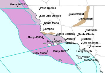
Ventura County sherriff fire cams

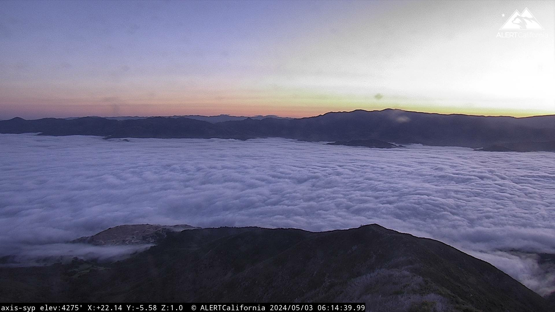
Santa Barbara County Fire Cam – looking towards
Ventura County
Lake Casitas Raws: Elevation 639 ft.
Elevation 639 ft.
Elevation 639 ft.
Temescal RAWS: Elevation 1,124 ft.
Wind: Elevation1,124 ft.
Temp: Elevation 1,124 ft.
Wind Gusts
Wiley Ridge Wind Gusts – 1,650 ft. elevation
Cheeseboro Wind Gusts – 1,700 ft. elevation

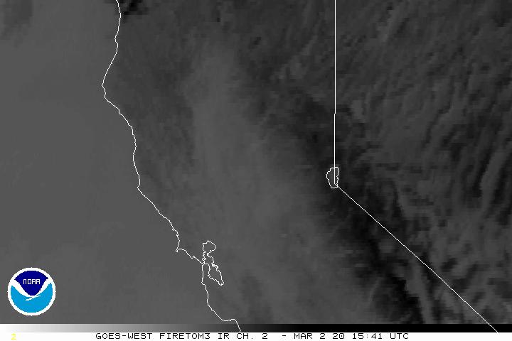
North Fire Satellite with infrared
Heat signature showing
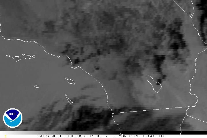
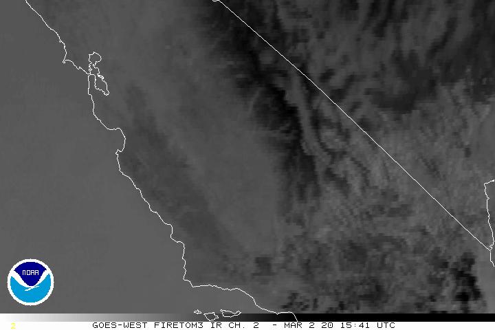
South Fire Satellite with infrared
Heat-Fire signature showing as a white
dot

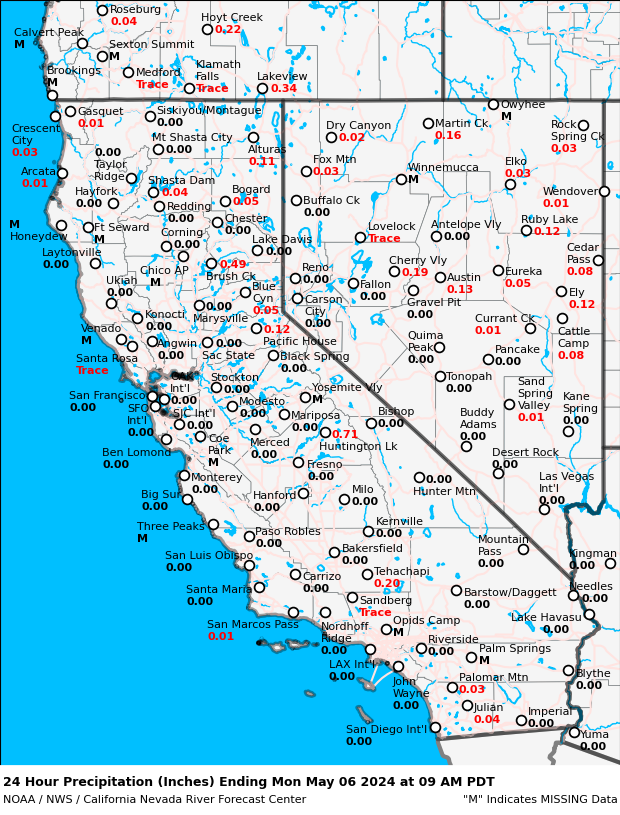
Ventura County Fire weather extremes –
day 1

Ventura County Fire weather extremes –
day 2

Ventura County Fire weather extremes –
day 3 – 8
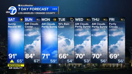
Los Angeles
Central Valley Weather


Temperatures – 6 to 10 day
outlook
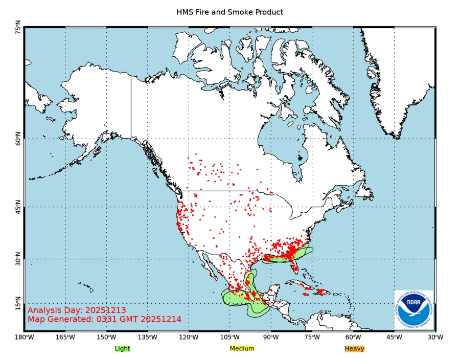
Smoke Map

Ojai Temp.
NWS Extremes